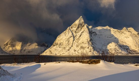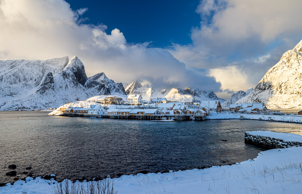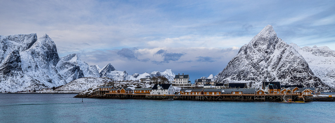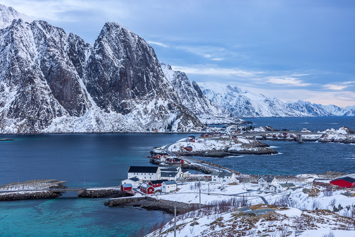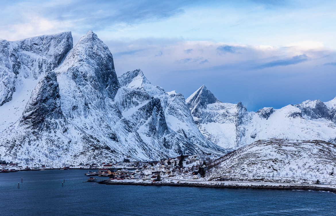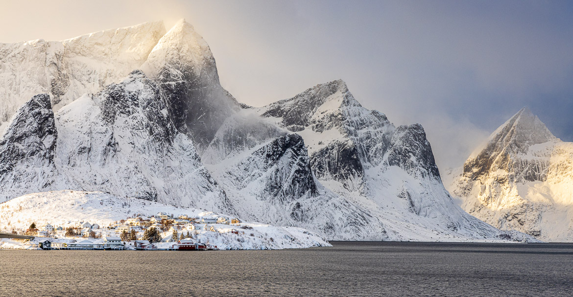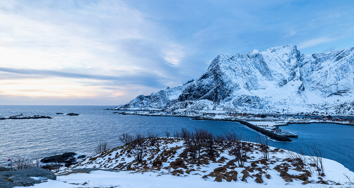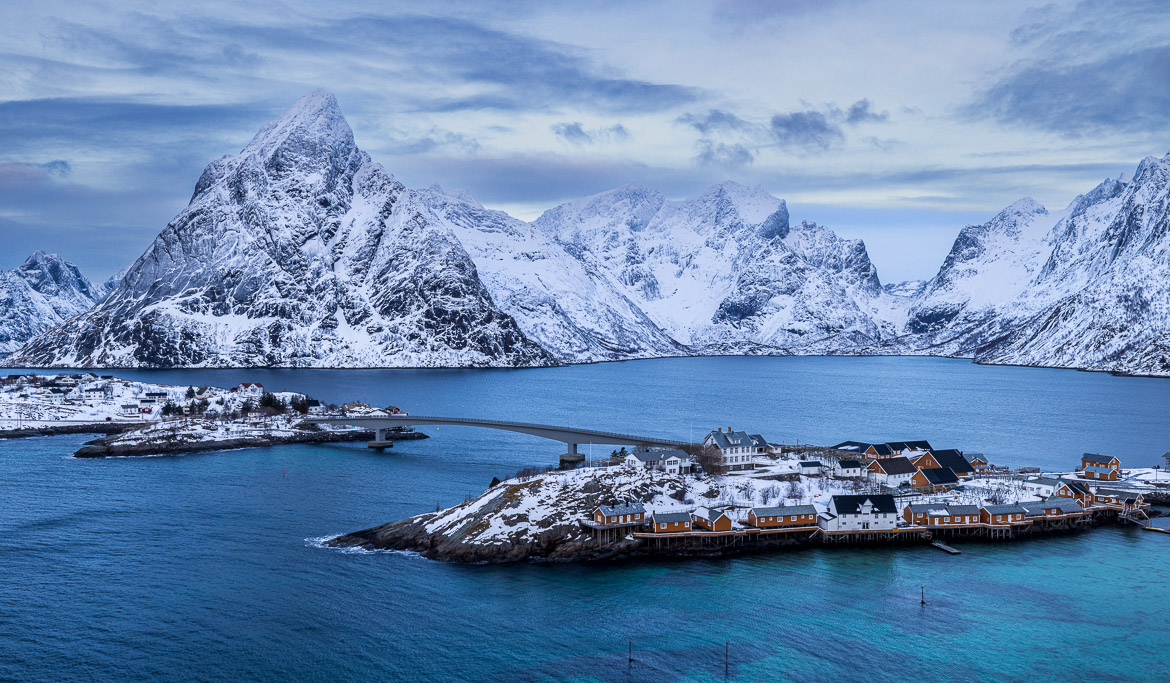
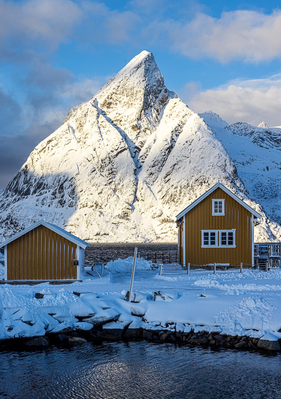
The bridge from Hamnøya leads to Toppøya and from Toppøya to Olenilsøya and from there to Sakrisøya and from there to Andøya before the road (E10) connects to the main island, Moskenesøya, again.
To get some images from above I climbed up a hill to the top of Olenilsøya. The images were interesting and the views fabulous but climbing down I sank into snow halfway up my thighs. Pulling out my leg, one of my boots got stuck in the snow and had to be rescued by me performing some fishing operation with my tripod.
On Sakrisøya is Anita’s Sjømat, Anita’s Seafood, which we visited I think five times during our weeks on Lofoten. They have the most gorgeous fishburger we ever had, and in my case it was always followed by the typical Norwegian waffles with jam and sour cream (yes, they serve it with sour cream and it tastes of Guide Michelin stars!). When the weather was too cold or snowy for photography, Anita was our saviour!
