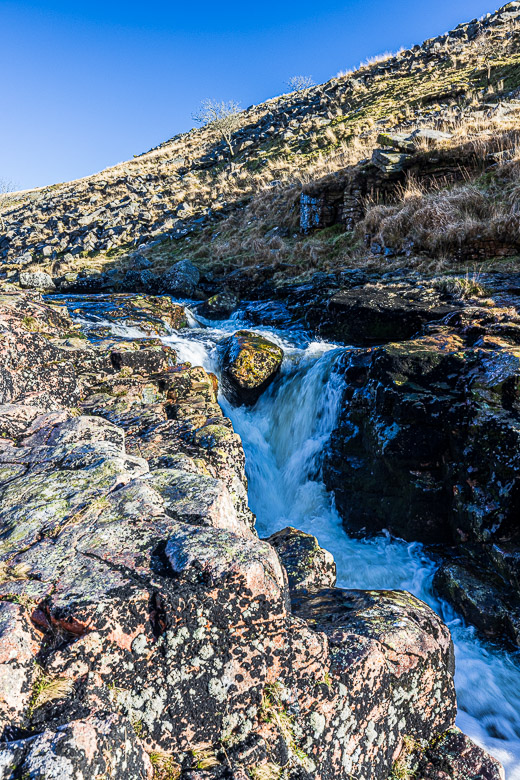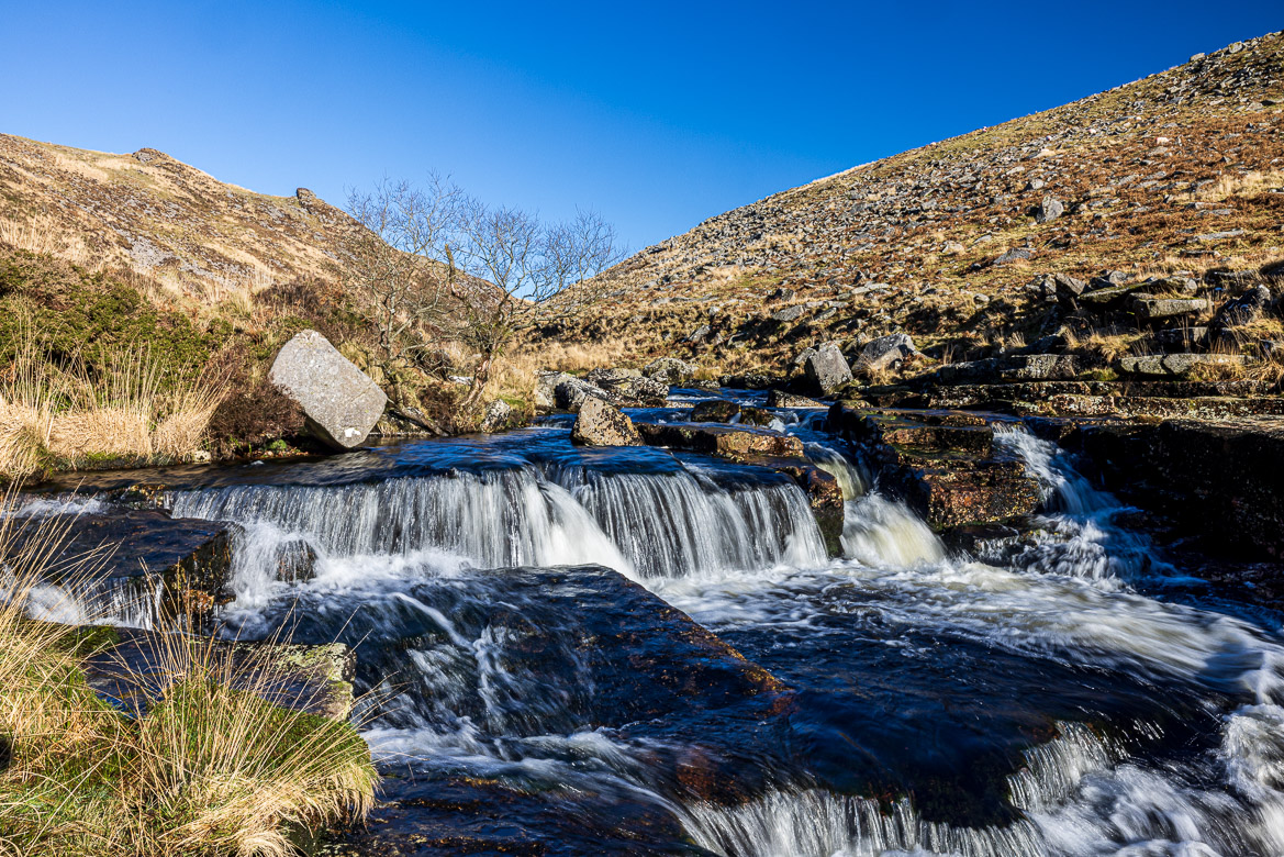
River Tavy is born on the western parts of Dartmoor and runs mainly south through Tavistock and meets the Tamar River north of Plymouth. Around 15 miles north of the confluence, the Wheal Friendship Leat (sometimes also called Mine Leat or Reddaford Leat) was built in the beginning of the 19th century. The water from the leat powered the copper mines around Mary Tavy before being returned to the river south of Mary Tavy.
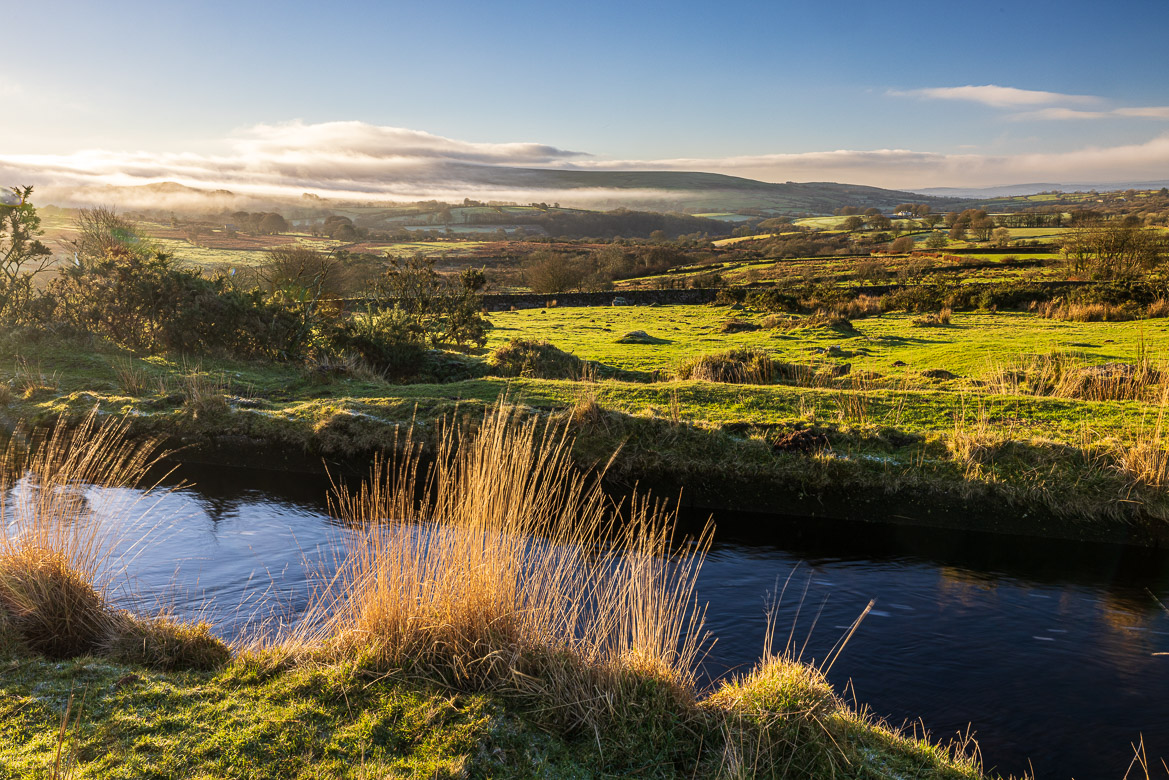
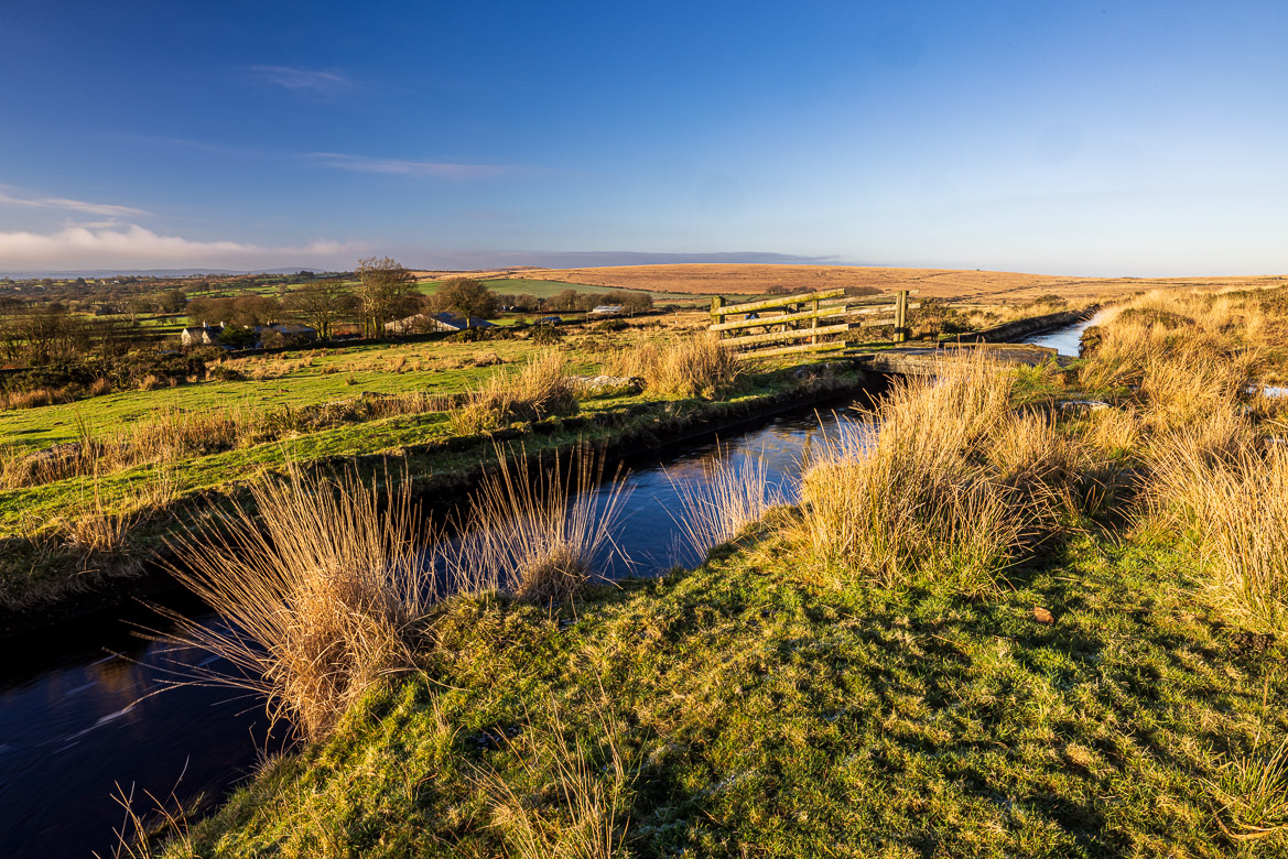
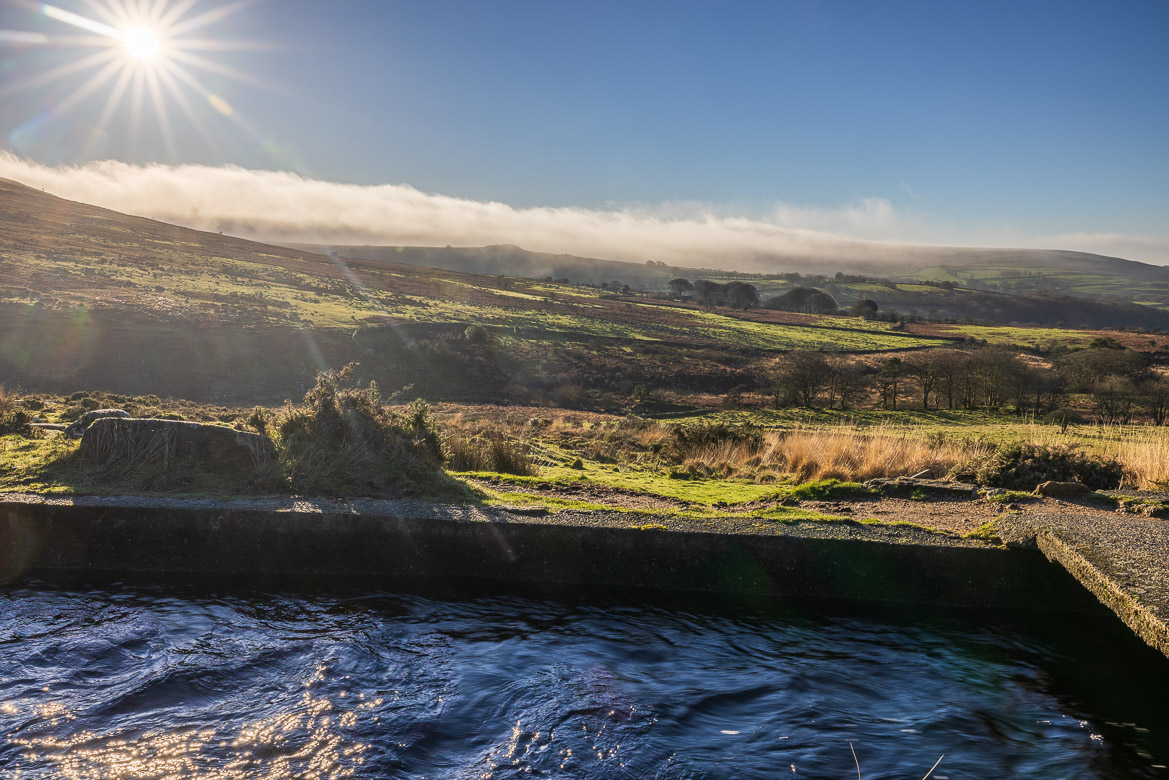
The copper mine at Wheal Friendship, fed by the leat, was the most productive copper mine in the world in the 19th century and employed more than a thousand men. In 1875 the leat powered 17 water wheels belonging to three mines. The mines stopped operating in the beginning of the 20th century and now the leat feeds a hydroelectric power station at Mary Tavy.
I started walking along the Wheal Friendship Leat, which runs nearly horizontally. It only drops 26 feet (8 metres) in the length of 4.5 miles (7.5 km). I followed it upstream until the point where the water is taken from River Tavy. Below that point the river is transferred into a little trickle as the leat carries most of the water.
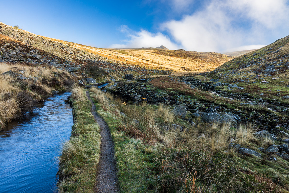
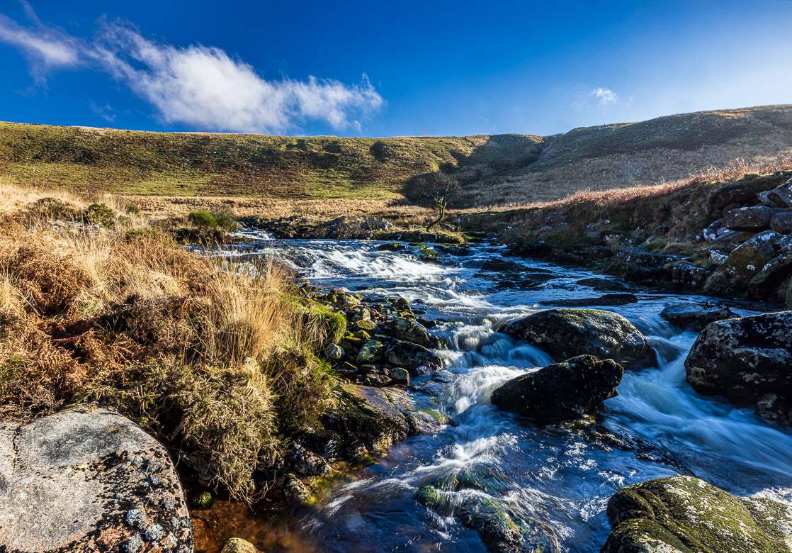
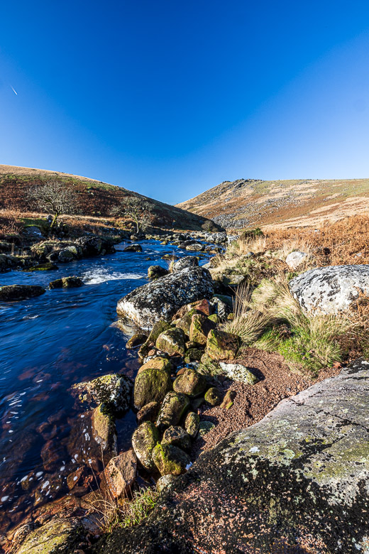
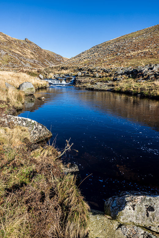
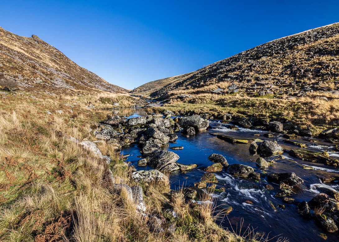
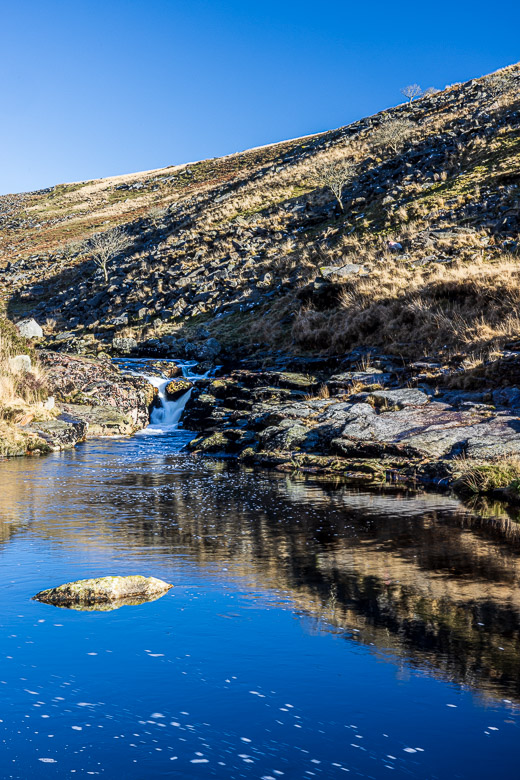
Then I continued upstream, now following the river in between Tors on either side into the Tavy Cleave. A cleave is a steep-sided valley and I felt cut off from the rest of the world, protected by the steep tors rising. The landscape is very remote and in the military Danger Area, so I had to check what days it would be accessible for my rambling. In the cleave are a couple of waterfalls and rapids and below them the river widens to calm pools. To my astonishment two young ladies had just had a swim in the pool (it was the 13th of January and quite chilly) before I arrived and were about to return back to civilisation.
