After a number of posts from our safari in Kenya, I interrupt with this post from St Michael’s Mount in Cornwall.
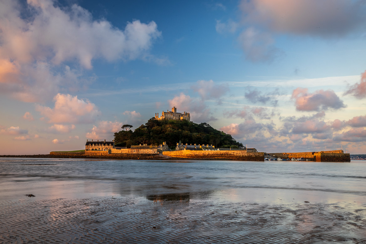
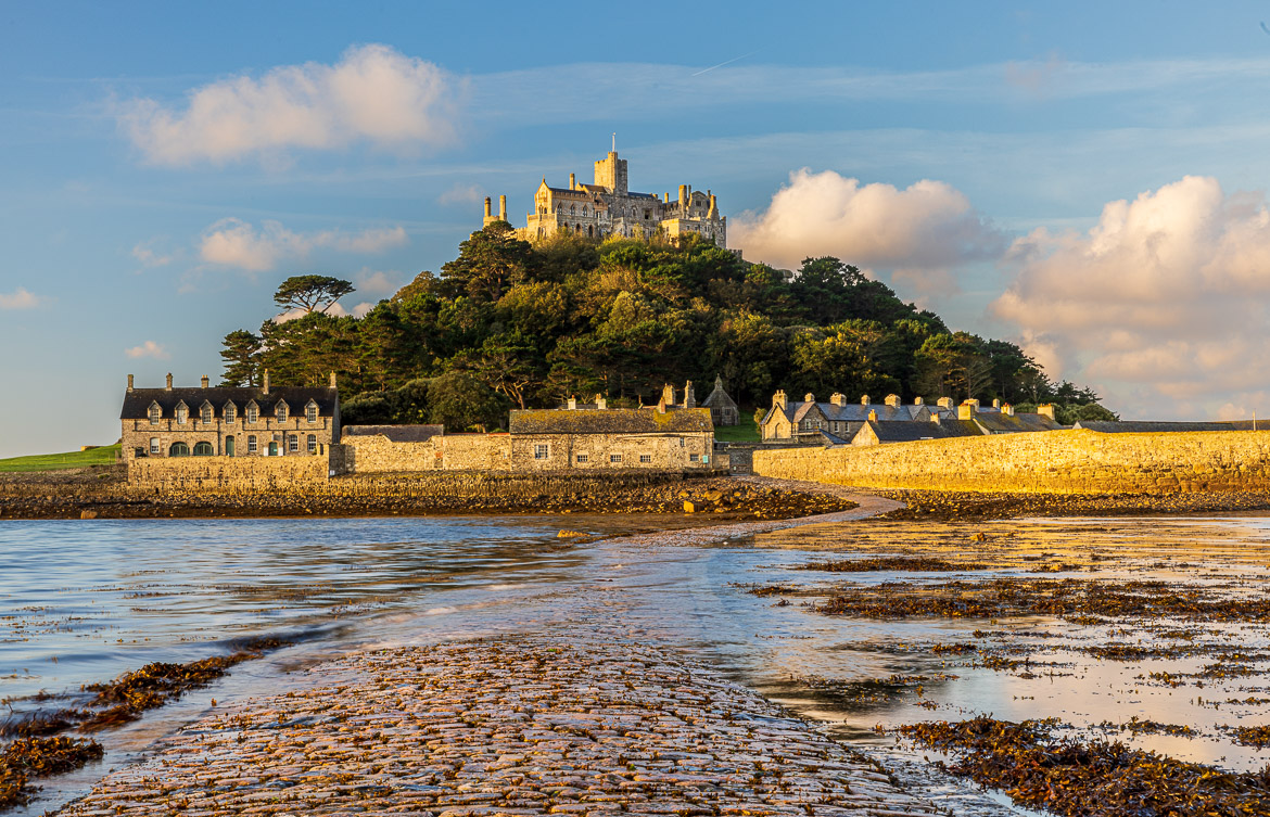
St Michael’s Mount is a tidal island in the very southwest of Cornwall. At high tide it looks like any other island, and you approach it by boat. But at low tide a causeway is visible above water and you can walk to the island from the mainland nearby. At Neolithic times the sea level was lower, and the island was just a substantial rock rising above the surrounding woodland. Around 2,000 BC the water level rose and the island was created.
An abbey was probably erected on the island around 800. In the 11th century during the reign of Edward the Confessor, the island was gifted by Edward to the Benedictine order of Mont Saint-Michel. Mont Saint-Michel is a similar but much larger island in Normandy. It is also tidal with a causeway and both islands have the same conical shape. The Benedictines erected several monastic buildings on St Michael’s Mount in the 12th century including the church at the top.
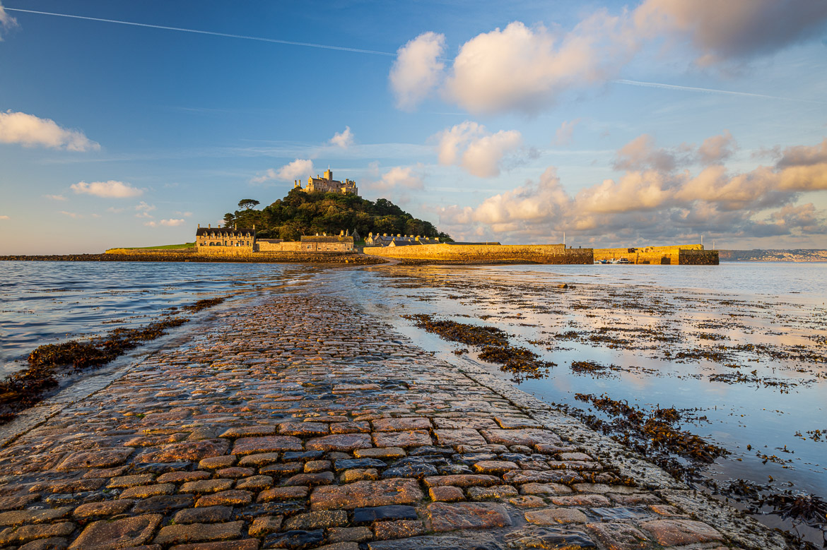
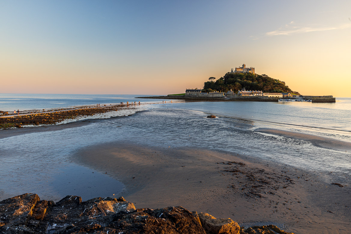
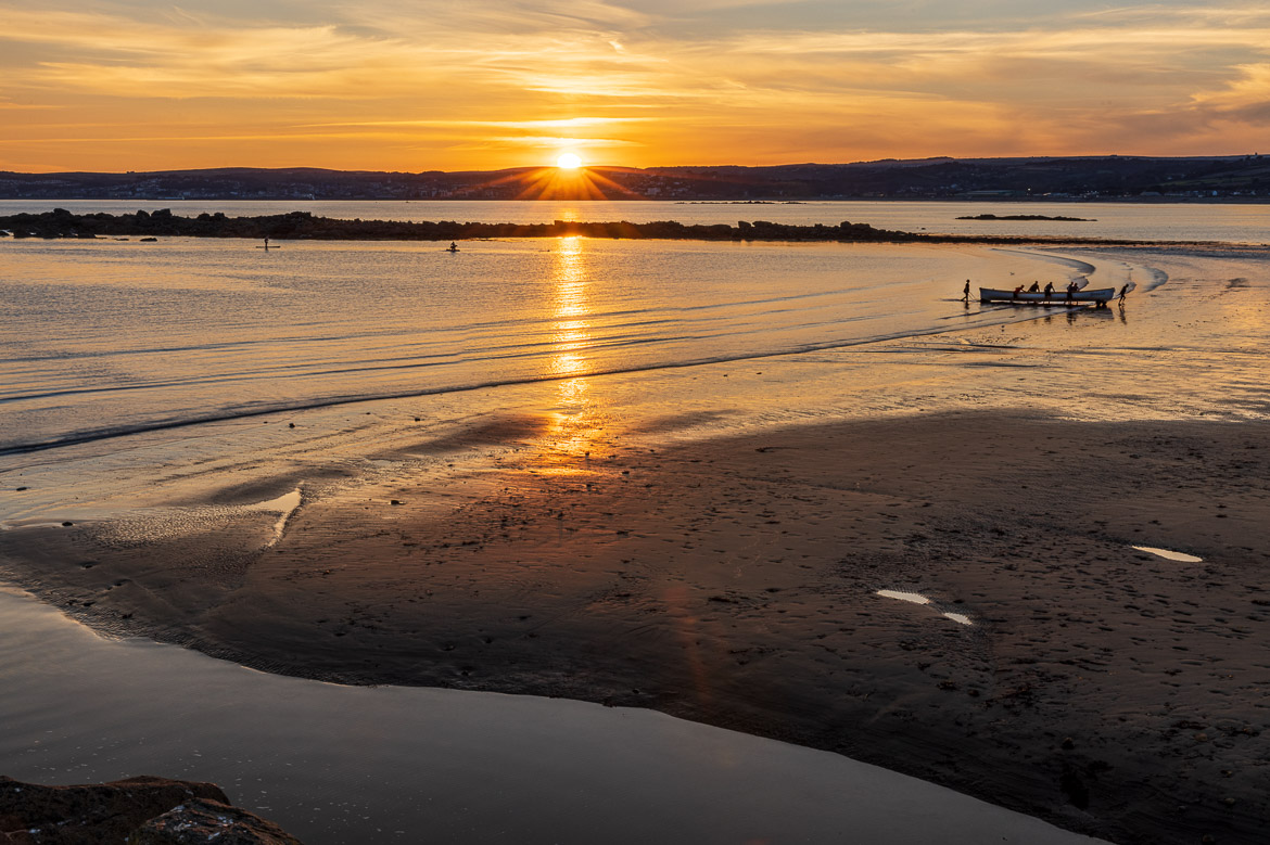
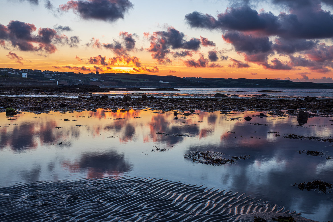
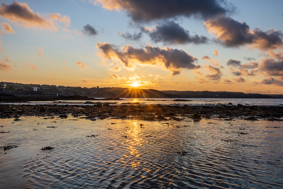
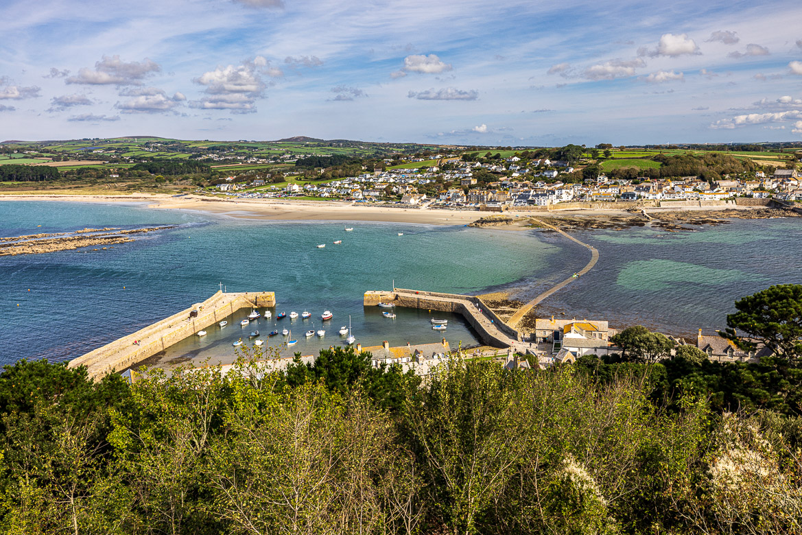
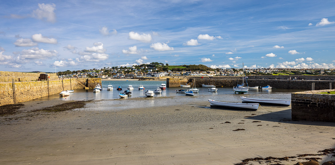
I have always wanted to see it and photograph it properly and last week I went there. I stayed overnight at Marazion, the town where the causeway begins (or ends, depending on your perspective). That gave me a possibility to photograph the island both at sunset and sunrise, and later the following morning I went across to the island.
My photographs are both some iconic shots of the causeway with the island in the background and some of the island and its castle captured during my visit.
Sunset
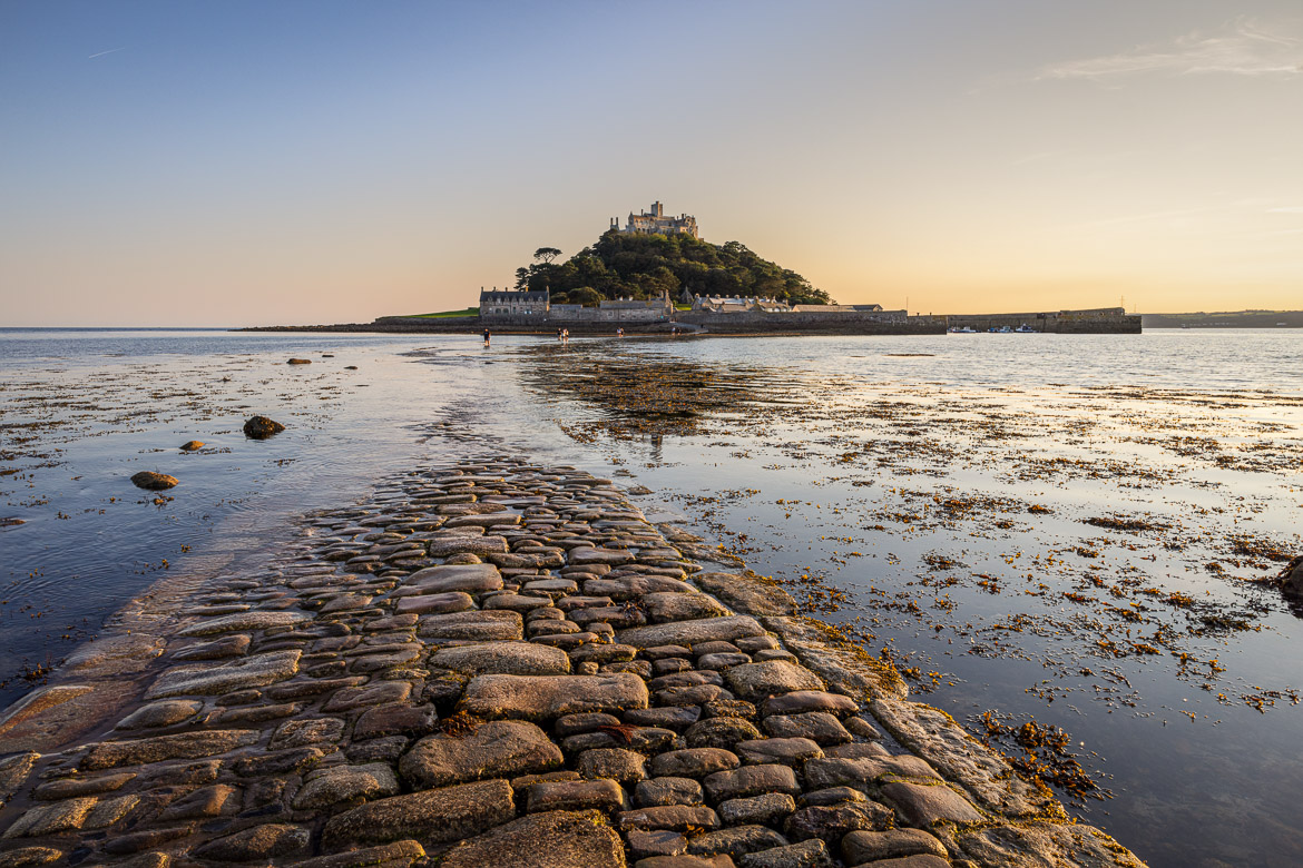
Sunrise
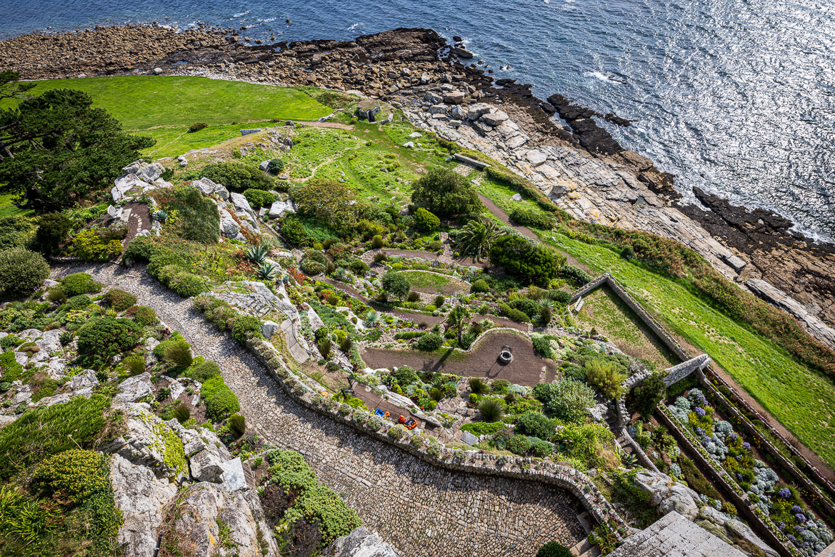
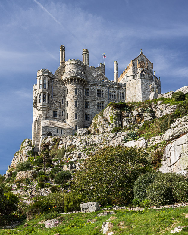
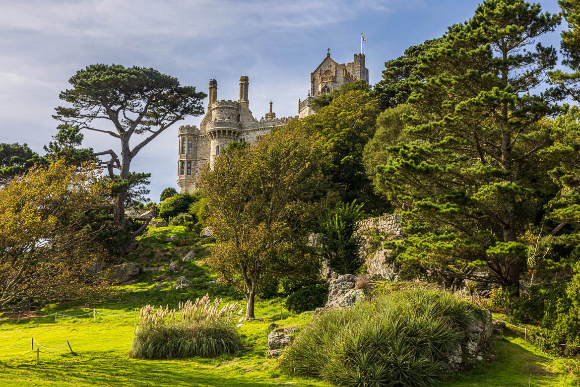
On the Island
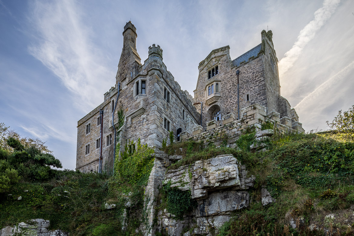
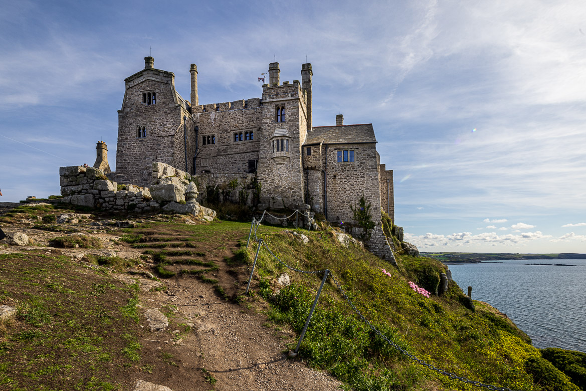
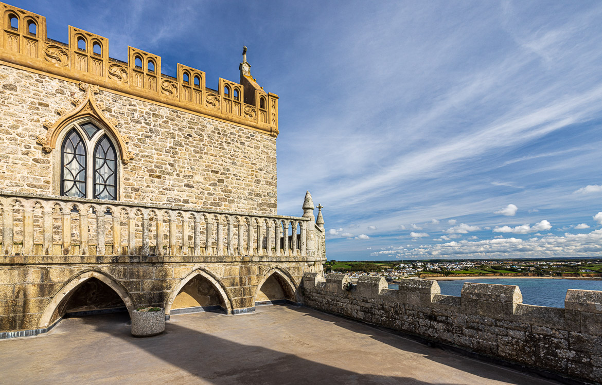
St Michael’s Mount has a checkered history. It was seized in 1193 on behalf of Prince John, when King Richard, his brother, was captured. During this time the island was fortified. It has after that belonged to Syon Abbey (twice), to King’s College, Cambridge and several noblemen. In 1659 it was sold to Colonel John St Aubyn, whose family still lives in the castle at the top of the island.
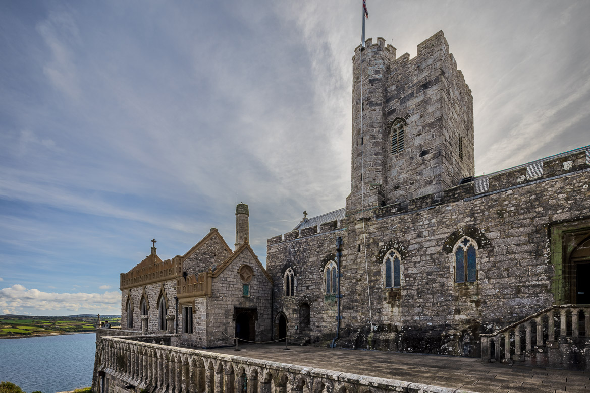
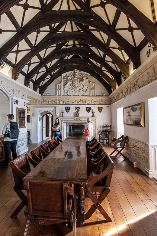
In Norman times the room in the image to the left here would have been the monks’ refectory. Underneath was the priory’s main storeroom. After the dissolution of the monasteries this room was reconstructed as the Great Hall of the castle. But by far the largest indoor space is, as it should be, the church itself, which I have photographed from the outside in the previous image.
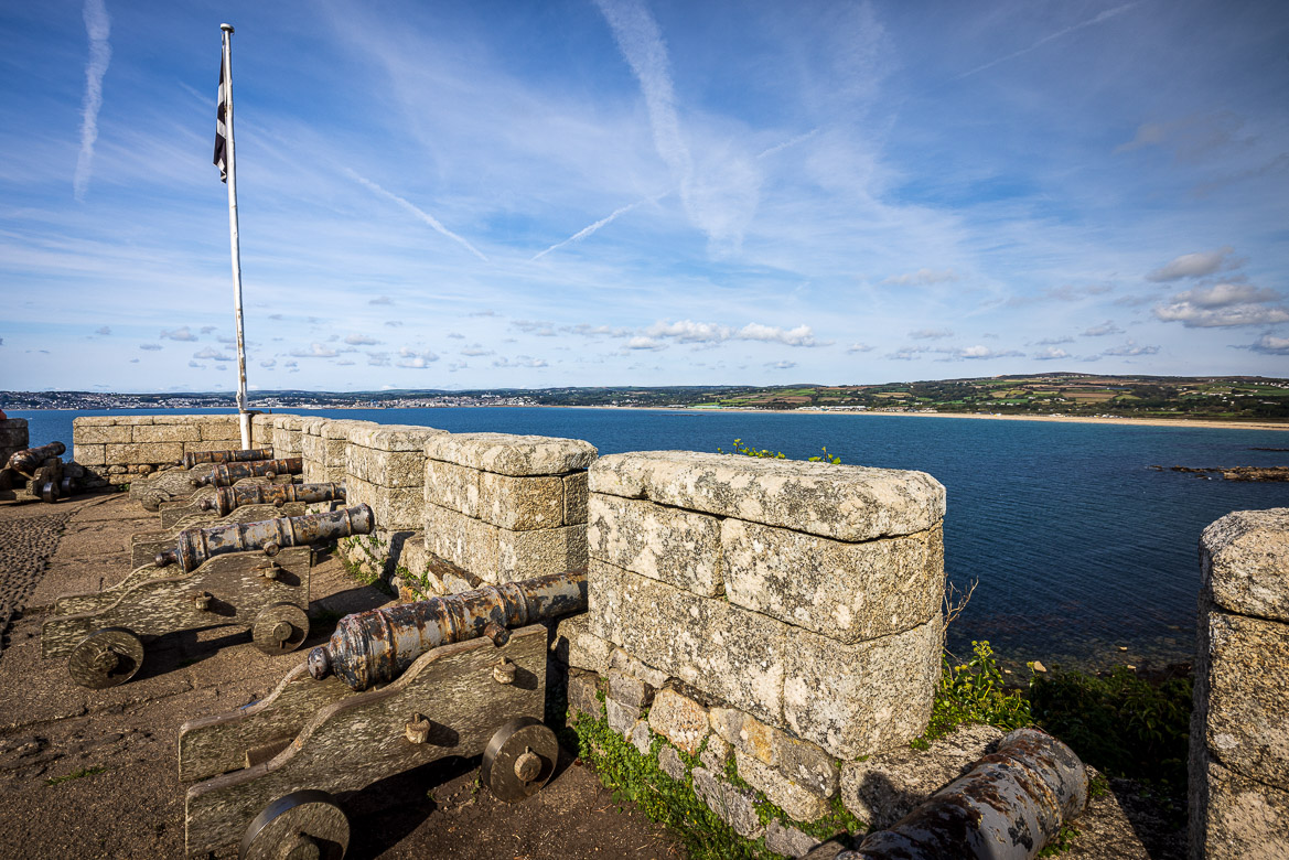
The canons in a previous image were captured from a French frigate disabled by fire from the Mount during the Napoleonic wars. At Mont St-Michel in France they have some captured English guns, so the situation is reciprocal!