The last month has been filled of posts on my website from our visit to New England. Now I come closer to home with a series from the county next to where I live: I will have a series of posts from western Cornwall and the Isles of Scilly. And we start very appropriately with Land’s End.
Land’s End is the most westerly point in England and also the most remote part of England. However, Scotland beats England with a small margin. Corrachadh More in the Scottish Highlands is 37 km further west than Land’s End.
Land’s End is part of a peninsula at the very west of Cornwall, but you can also say that all of Cornwall and Devon and parts of Somerset is a peninsula shooting out to the southwest of England and surrounded by the Atlantic – the English Channel to the south and the Bristol Channel to the north. Land’s End itself is a massive granite outcrop sculpted by the sea into dramatic forms accentuated by the waves breaking over the outlying islands and pounding the rocks that constitute the base of the peninsula.
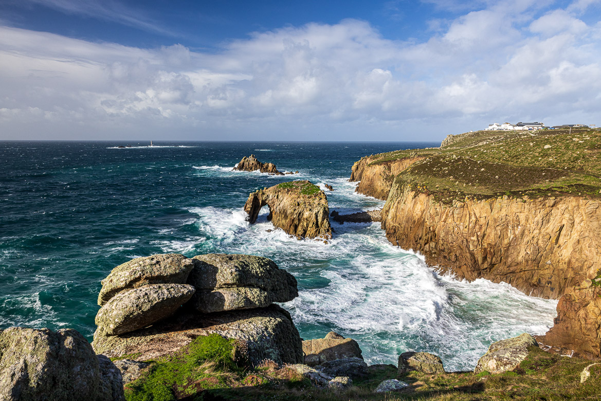
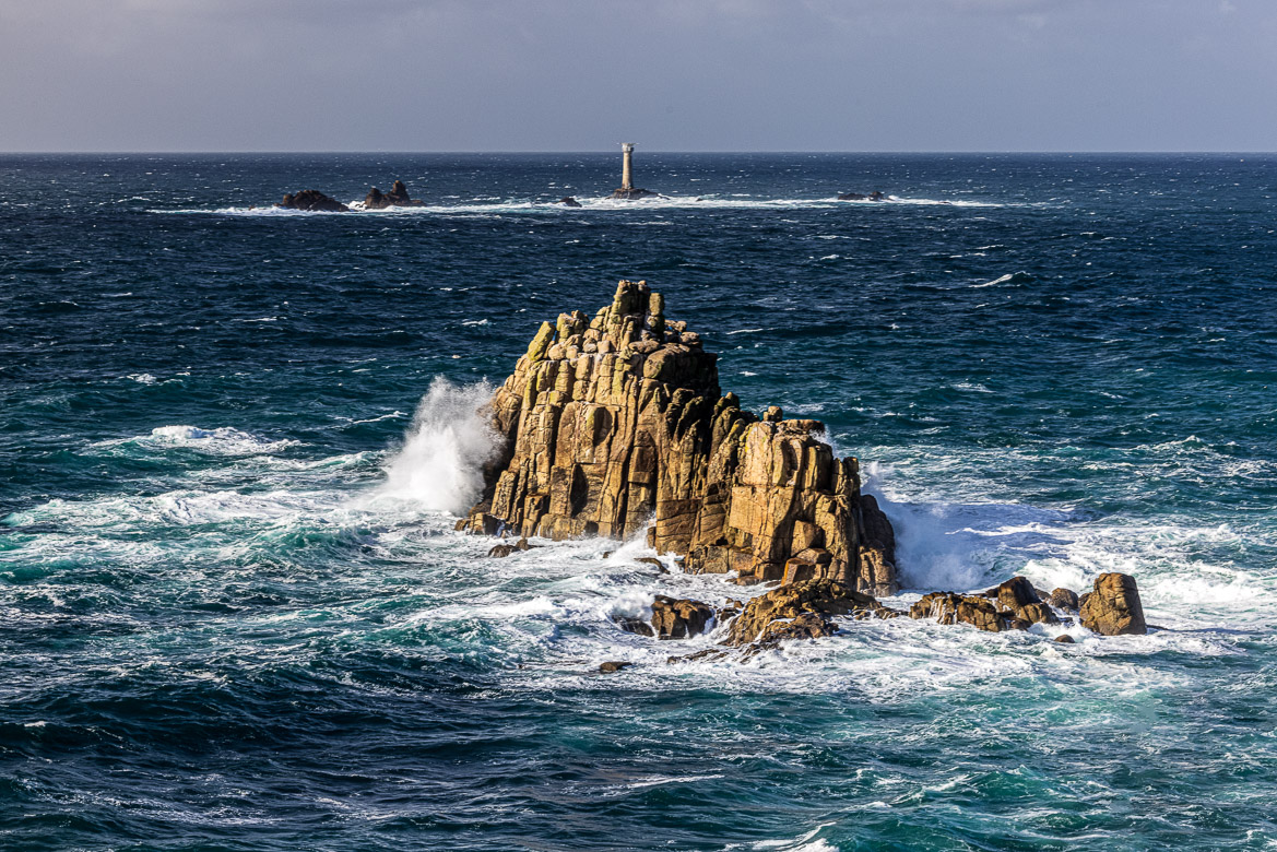
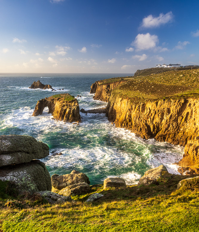
I went there two times in November to photograph it. Once midday and one time in the late afternoon before sunset. The photo above shows Land’s End Hotel at the top right (the white buildings) and the famous Enys Dodnan island with its arch. Behind it is another island, The Armed Knight and further away, a mile and a half west of Land’s End is Longships Lighthouse, where the sea is constantly pounding at the lighthouse that stands 12 metres high.

Originally Land’s End extended further west. A rock formation collapsed into the sea in a storm in 1648. Some saw that as a sign from above, as King Charles I was beheaded the year after. The rock formation, the Spire Rock, was topped by a spire and was sometimes known as the Armed Knight. After it was toppled in the storm the name was transferred to the rocky island outside.
But the land may according to legend have extended much further. Lyonesse is a sunken kingdom between the present Land’s End and the Isles of Scilly 28 nautical miles outside. Legend tells that Trevelyan was the sole survivor after the Kingdom succumbed in a great storm. He survived by riding on his horse in front of the approaching waves until he reached higher ground at Land’s End.
An archeological investigation between 2009 and 2013 called The Lyonesse Project set out to study the evolution of land and sea around the Isles of Scilly and found that there were evidence of dramatic sea level changes including submerged forests especially in between the different Scilly Isles. I will publish some photos from the Isles of Scilly after I have covered a little more about the Land’s End peninsula.

Land’s End became a tourist attraction already in the 19th century and people travelled far away to reach the most westerly point of England. It inspired artists like Turner and poets like Tennyson. Below is a poem called Land’s End
Land’s End
Henry Sewell Stokes, 1852At length we reach the Island’s western bound,
Like giant castle ere the Deluge, piled
These granite rocks amid the Ocean wild;
The silvery-pinion’d sea-birds wheel around
As if in motion to the solemn sound
Of the broad-rolling waves, and in the gale
The voice of storms shouts with a stern all-hail,
To greet the first proud spot of British ground.
This – this is our Herculean column, placed
As the grand barrier ‘gainst despotic power,
And distant as the day of doom the hour
Its adamantine ban shall be erased;
Fair Freedom, sculptured on the living rock,
Serenely smiles to mark the billows’ harmless shock.
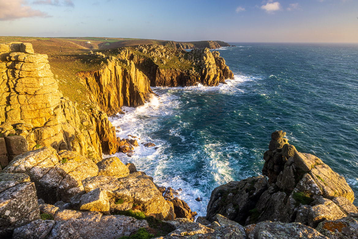
Looking south, away from Land’s End, you see the next promontory shooting out into the sea. That is Pordenack Point, as beautiful and rugged as Land’s End itself with the giant waves pounding its base.


